Know the basic concepts of architectural photogrammetry, the phases to carry out 3D modelling, and its applications in architecture.
Photogrammetry is a fundamental technique in the field of infographics. Its function is to build 3D models or scale reproductions from photographs of plans, facades, landscapes, etc. This method uses two-dimensional images to create three-dimensional models of buildings, objects with complicated geometry, or environments (for example, from a bird’s-eye view) to complete or set scenes. Thanks to photogrammetry, we can also extract the texture of the element we represent.
Photogrammetry is not a recent procedure, but its origin goes back a couple of centuries. Although it began to be used in cartography, technological development contributed to extending its application to other disciplines, such as archaeology, topography, geology, and, of course, architecture. Engineers and architects saw this technique as an essential tool when reproducing existing constructions, historical buildings that have disappeared, or environments in which they will build.
Applications of digital photogrammetry in architecture
What we can consider more recent is digital photogrammetry. Thanks to the appearance of computer programs capable of quickly managing large amounts of data and improving new image-taking systems (such as drones for aerial photography), photogrammetry has undergone significant development. By carrying out a photogrammetric survey, we get a complete 3D visualization. That is, from photographic images, we obtain the following information about the objects:
- Its geometric properties
- Your location in space
- Its actual texture
Architectural photogrammetry is a non-invasive technique that allows the status of a building or monument to be assessed and represented with a high level of precision, including damage or deterioration. These characteristics make it very useful when planning projects for the restoration of architectural heritage and the rehabilitation of buildings. Likewise, having a three-dimensional reconstruction from photographs offers us multiple possibilities in architectural analysis to carry out daily measurement and visualization tasks.
3 phases of a 3D modelling in photogrammetry
When reconstructing objects in three dimensions based on photographs, we must carry out the following steps :
1. Documentation or data collection
The first step is to photograph the environment, object, or architectural element we want to reproduce. If we wish for the data collection to be as effective and precise as possible, it is essential to have notions of photography to configure the camera properly.
We must consider parameters such as ISO sensitivity, diaphragm opening, shutter speed or focal length, depth of field, motion blur, and distortion. In this sense, lighting plays a fundamental role in the quality of the final result; For this reason, aspects such as the behaviour of light or the different lighting sources must be assessed.
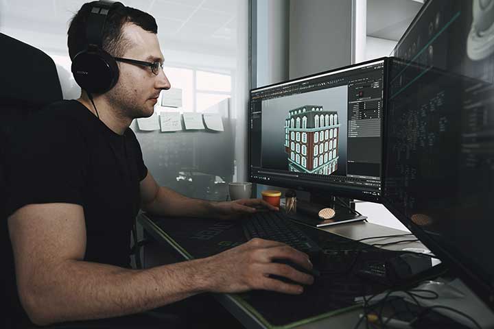
2. Surveyor reconstruction of 3D modelling
Once we have the appropriate photographs to lift the modelling in photogrammetry, we will enter the post-production phase. Now it’s time to process the images and rebuild the 3D model. Various computer programs on the market will help us with these tasks, such as Photoscan for photo processing or Agisoft Photoscan for 3D reconstruction.
From the photographic information, we first create the point cloud: we build a low density one, then a dense one, and finally, we do cleaning. Then we establish the link points and join them to create the mesh that will allow us to develop the texture. At this point, it is essential to properly illuminate the objects and configure those parameters that will define the quality and precision of the 3D model that we will optimize next.
3. Retopology and optimization of 3D modelling
Finally, we import the objects into a modelling program, such as Autodesk 3ds Max, where we will optimize their mesh using a retopology process. This consists of building the low poly object, creating the mapping coordinates, and projecting normal, occlusion, and colour maps from the high object to the low object.
Extracting from the high-poly model and applying them to a low-poly model simplifies the polygons and reduces their weight, which allows us to perform the rest of the processes more efficiently. With those maps created and their processing for Delighting, we can create a realistic material that works in any rendering engine, be it static (Vray) or real-time (Unreal Engine). And now, we do incorporate the 3D models of buildings, objects, or environments within the infographics. This completes the photogrammetry process.
Also Read: 5 Common Laptop Problems And How To Fix Them